
Every year it seems for as long as I can remember property taxes have increased.
Did you know that doesn’t have to be the case?
In this article you’ll learn if you qualify to save hundreds if not thousands of dollars EVERY YEAR!!
For the rest of your life!
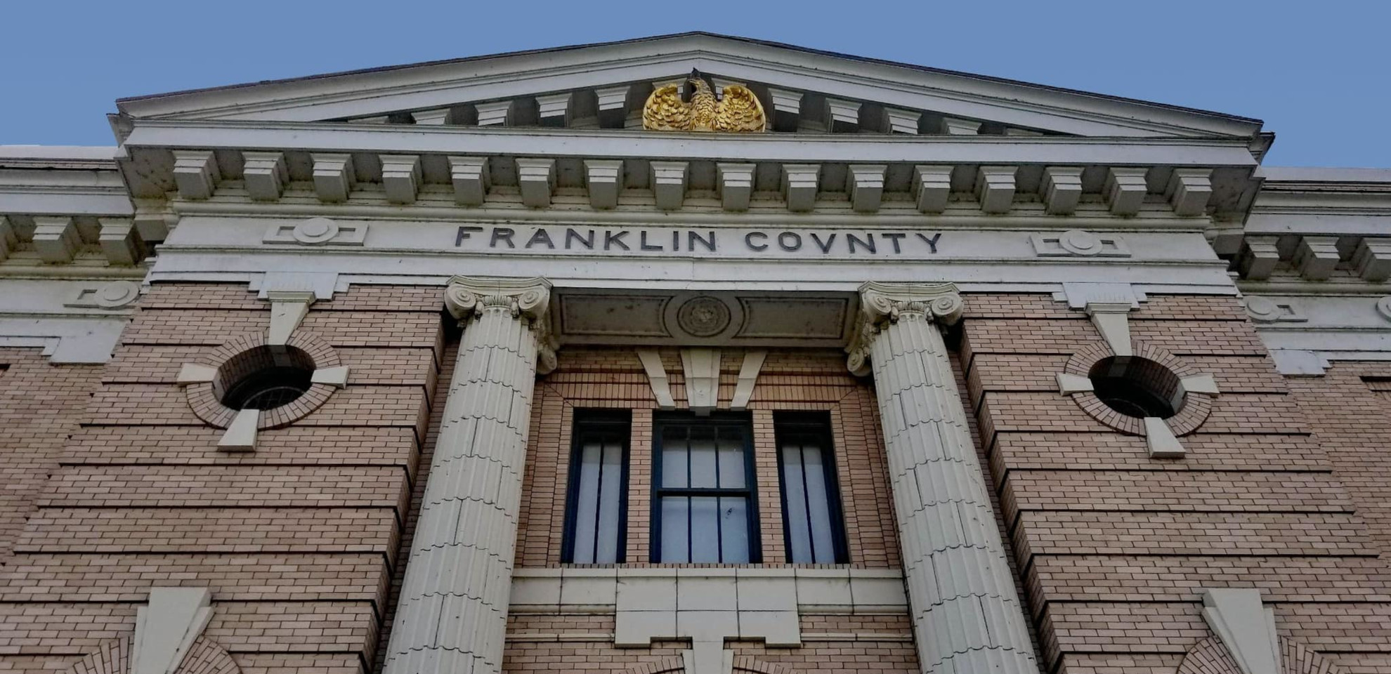
Franklin County has property tax relief programs for senior citizens and people with disabilities who meet the qualifications.
Beginning 2024, your combined disposable income should not exceed $61,000. And by December 31 of the assessment year, you must either be at least 61 years of age, or be unable to work because of a disability, or be a disabled veteran with a service-connected evaluation of at least 80%, or receiving compensation from the United States Department of Veterans Affairs at the 100% rate for a service-connected disability.
You must also occupy your primary residence for more than six months. You may continue to qualify even if you spend time in a hospital, nursing home, boarding home, adult family home, or home of a relative. However, a residence used as a vacation home is not eligible.
There are other factors to consider on your eligibility for this program. To know more how you can qualify for Franklin County’s tax property reduction, schedule an appointment with us today.
In Franklin County, Washington, property taxes are due each year on April 30 and October 31. You can pay by credit, Visa debit, or electronic check, pay by mail, or pay in person. We can help you cut through the red tape if you qualify for a discount. Schedule an appointment with us!
About Franklin County
Franklin County is a county situated in the state of Washington, with a population of 96,749 according to the 2020 census1https://en.wikipedia.org/wiki/Franklin_County,_Washington. It was established on November 28, 1883, carved out of Whitman County, and is named in honor of Benjamin Franklin.
The 2010 census reported a population of 78,163, with 23,245 households and 18,163 families residing in the county. The population density at that time was 62.9 inhabitants per square mile (24.3/km2), with 24,423 housing units at an average density of 19.7 per square mile (7.6/km2).
Places You Can Visit
Columbia River
The Columbia River, the largest river in the Pacific Northwest region of North America, originates in the Rocky Mountains of British Columbia, Canada. Spanning a length of 1,243 miles (2,000 kilometers), it first flows northwest, then south into the U.S. state of Washington. Subsequently, it takes a westward course, forming the majority of the border between Washington and Oregon before ultimately emptying into the Pacific Ocean.
The Columbia River’s drainage basin is expansive, roughly equivalent to the size of France, and extends across seven U.S. states and one Canadian province. The Snake River stands as its largest tributary.
Ranked as the fourth-largest river in the United States by volume, the Columbia River boasts the greatest flow of any river entering the Pacific outside of Asia. Furthermore, it holds the 36th greatest discharge of any river globally.
The river’s significant length, diverse course, and substantial drainage basin make it a vital geographical feature with economic, ecological, and cultural importance in the region.


Hanford Site
The Hanford Site, situated on the Columbia River in Benton County, Washington, is a decommissioned nuclear production complex operated by the U.S. federal government. Also known as Site W and the Hanford Nuclear Reservation, it was established in 1943 as part of the Manhattan Project. The site played a pivotal role in the development of nuclear weapons, housing the Hanford Engineer Works and B Reactor, the world’s first full-scale plutonium production reactor.
Plutonium produced at Hanford was utilized in the Trinity nuclear test, marking the first detonation of an atomic bomb, and in the Fat Man bomb dropped on Nagasaki. The site’s historical significance is immense, reflecting its integral role in early nuclear weapons development.
While the Hanford Site is decommissioned, it offers two public tours: the B Reactor tour and the Pre-War Historic Sites tour. Many of its historic properties are situated within secure Department of Energy nuclear reservations, allowing public access exclusively through guided tours facilitated by the Department of Energy. The Hanford Site stands as a tangible reminder of a crucial era in nuclear history.


Juniper Dunes Wilderness
Juniper Dunes Wilderness, located in Franklin County, Washington, encompasses 7,140 acres (28.9 km²) of protected land. Established in 1984, it stands out for being home to the northernmost growth of western juniper trees, thriving amidst the expansive sand dunes that characterize the area.
Despite its protected status, Juniper Dunes Wilderness currently lacks legal access, as the surrounding land is privately owned. However, an agreement reached in early 2007 with landowners enables visitors, granted permission, to traverse specific old jeep trails leading close to the Wilderness boundary. This arrangement offers a unique opportunity for those interested in exploring the distinctive environment of Juniper Dunes, blending the conservation of wilderness with respectful access facilitated by cooperation with private landowners.


Snake River
The Snake River, a significant watercourse in the greater Pacific Northwest region of the United States, extends for 1,078 miles (1,735 km). As the largest tributary of the Columbia River, which is itself the largest North American river flowing into the Pacific Ocean, the Snake River holds considerable geographical importance.
Originating in western Wyoming, the Snake River traverses the Snake River Plain in southern Idaho, meanders through the rugged Hells Canyon along the Oregon–Idaho border, and courses through the rolling Palouse Hills of Washington. Its journey culminates as it joins the Columbia River at the Tri-Cities in the Columbia Basin of Eastern Washington. This extensive and diverse route showcases the Snake River’s role as a key component of the regional landscape, impacting the ecosystems and geography of the areas it traverses.


Hanford Reach National Monument
The Hanford Reach National Monument, established in 2000 in the state of Washington, occupies land primarily derived from the former security buffer around the Hanford Nuclear Reservation. This area, untouched by development or agriculture since 1943, is regarded as an involuntary park due to its preservation status.
The monument, open from two hours before sunrise to two hours after sunset, features various zones with differing access permissions:
- Fitzner-Eberhardt Arid Lands Ecology Reserve: Access is allowed for ecological research but closed to the public.
- Rattlesnake Mountain: Part of the reserve, limited access is under consideration through a Congressionally-ordered process by the Fish and Wildlife Service (FWS).
- Columbia River Corridor: Generally open to the public for shore and open water activities.
- McGee Ranch and Riverlands: Open to the public for day use.
- Saddle Mountain National Wildlife Refuge: Access is permitted for ecological research but closed to the public.
- Vernita Bridge: Open to the public.
- Wahluke Slope: Open to the public.
Adjacent to the Hanford Site, some sites such as the B Reactor are part of the Manhattan Project National Historical Park and can be explored through public tours. The Hanford Reach National Monument thus provides a range of access options, balancing public engagement with the imperative to protect and preserve this historically and ecologically significant region.