
Every year it seems for as long as I can remember property taxes have increased.
Did you know that doesn’t have to be the case?
In this article you’ll learn if you qualify to save hundreds if not thousands of dollars EVERY YEAR!!
For the rest of your life!
Jefferson County, Washington gives senior citizens and disabled persons property tax relief programs. To get this benefit, you have to meet the qualifications that are based on age or disability, ownership, occupancy, and income.
You may be entitled to a property tax discount if you are at least 61 years of age, unable to work because of a disability, or a disabled veteran with a service-connected evaluation of at least 80% or receiving compensation from the United States Department of Veterans Affairs at the 100% rate for a service-connected disability.
You must also own your home by December 31 of the assessment year and have occupied the same for more than six months.
For your income, it should not exceed $45,000 starting in 2024.
Schedule an appointment with our team today and we’ll help you get this benefit fast.
There are many ways to pay your property taxes in Jefferson County. You have the option to pay with credit card or echeck, by check, or through cash payments.
If you choose online payment methods, there are convenience fees added on top of your taxes.

The tax amount of your property will depend on your property’s market value. Market value is understood to be the amount of money that a willing and unobligated buyer is willing to pay a willing and unobligated seller. But, an individual sale does not automatically establish the value of a property. This is because the Assessor’s Office in Jefferson County uses multiple sales to establish the market value of your property.
The higher the market value of your property, the higher the taxes you will pay. But if you take advantage of the county’s tax relief programs for you, you could save hundreds of dollars. Schedule an appointment with us and we’ll help you know if you qualify for a reduction on your property taxes.
Annual deadlines for the payment of property taxes are due April 30 for the first half and October 31 for the second half.
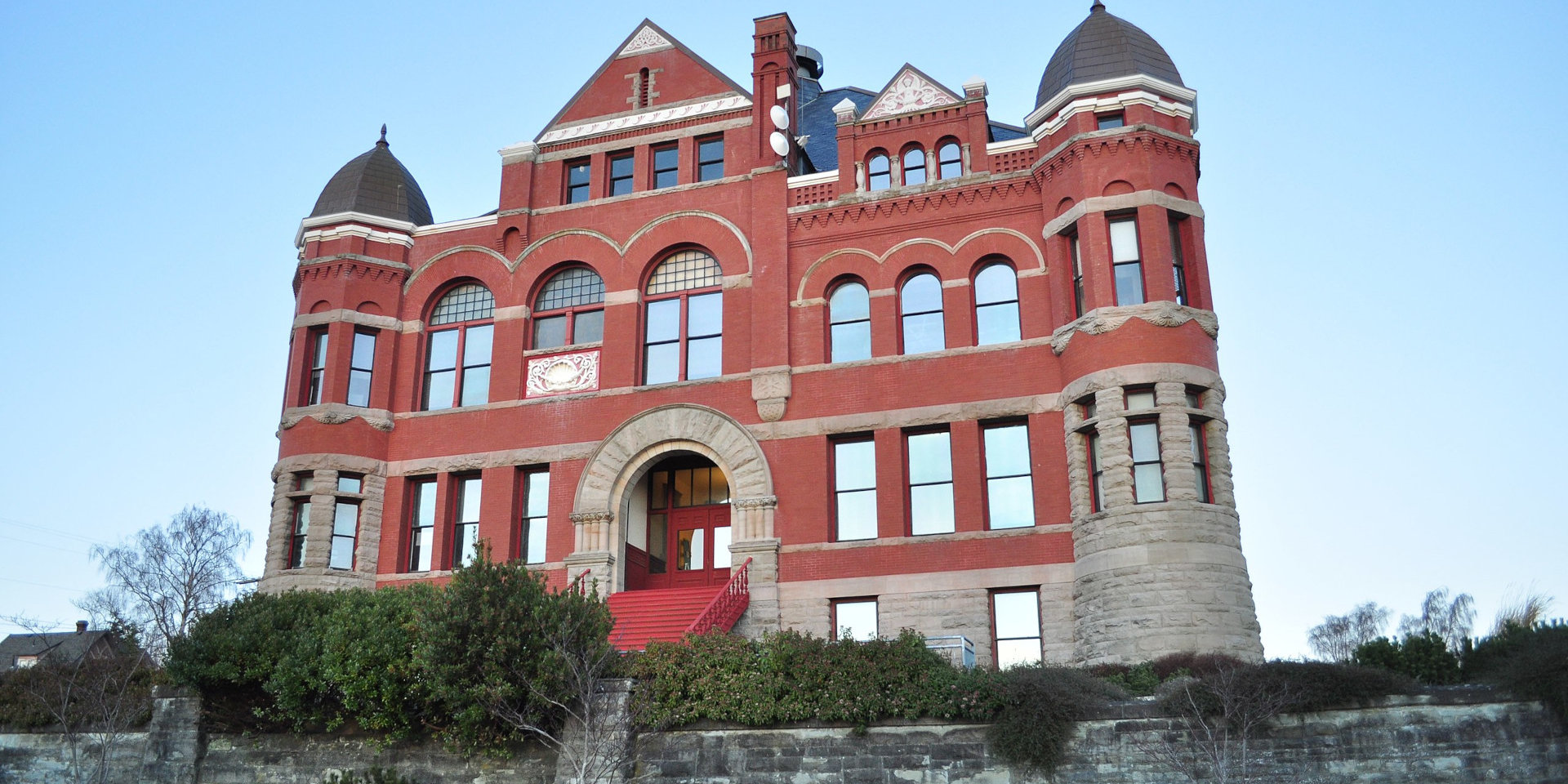
About Jefferson County
Jefferson County, located in the U.S. state of Washington, has a population of 32,977 as per the 2020 census1https://en.wikipedia.org/wiki/Jefferson_County,_Washington. Named in honor of Thomas Jefferson, the county reflects its historical roots in its nomenclature.
As of the 2010 census, the county recorded 29,872 people residing in 14,049 households, with 8,394 families making their home in the area. The population density at that time was 16.6 inhabitants per square mile, with 17,767 housing units, showcasing the county’s relatively spacious and diverse residential landscape. Jefferson County stands as a unique and historically significant part of Washington, offering its residents a blend of natural beauty and cultural heritage.
Places You Can Visit
Destruction Island
Destruction Island, historically known as Green Island, is a 30-acre island situated about 3.5 miles off the Washington coast. As part of the Quillayute Needles National Wildlife Refuge, this island serves as a habitat for seabirds, shorebirds, and marine mammals. Its remote location and protected status contribute to the preservation of diverse wildlife populations, making Destruction Island a noteworthy component of the natural ecosystem along the Washington coastline.


Discovery Bay
Discovery Bay, situated on the coast of the Olympic Peninsula in Washington state, is a small bay intricately connected to the Strait of Juan de Fuca. Historically known as Port Discovery, it earned its name from George Vancouver, who named it after the ship “Discovery” used in his 1792 expedition of the area.
Over time, the community at the bay’s foot adopted the same name, creating a historical connection between the bay, the explorer’s voyage, and the local community. Discovery Bay stands as a testament to the region’s exploration history and the enduring influence of early maritime expeditions.

Hood Canal
Hood Canal, a natural fjord forming the western lobe of Puget Sound in Washington state, is one of the four main basins of Puget Sound and a minor body of water within the Salish Sea. Despite its name, Hood Canal is not an artificial canal but a striking natural feature.
The shores of Hood Canal are dotted with state parks such as Belfair, Twanoh, Potlatch, Triton Cove, Scenic Beach, Dosewallips, and Kitsap Memorial, offering opportunities for activities like swimming, boating, fishing, and shellfish gathering. At the tip of the Canal in Belfair, the Theler Wetlands provide a sanctuary with trails for marsh and estuary birdwatching and plant observation.
Numerous small towns line the length of Hood Canal, predominantly on the western shore, serving as gateways to the Olympic National Forest and Olympic National Park. Popular areas like Staircase Campground and Hama Hama Recreation Area offer access to extensive hiking trails through serene, lush forests. Hood Canal is not just a scenic waterway but also a recreational haven, inviting visitors to explore its natural beauty and engage in a variety of outdoor activities.


Mount Olympus
Mount Olympus, standing at an elevation of 7,980 feet (2,430 m), holds the distinction of being the tallest and most prominent mountain within the Olympic Mountains of western Washington state, USA. Situated on the Olympic Peninsula, Mount Olympus serves as a focal point and a majestic centerpiece of Olympic National Park.
As the highest summit in the Olympic Mountains, Mount Olympus showcases the rugged beauty of the region and is a prominent feature within the diverse landscapes of the national park. Its elevation and prominence contribute to the allure of the Olympic Mountains and make Mount Olympus a significant natural landmark in the Pacific Northwest.


Olympic Mountains
The Olympic Mountains, situated on the Olympic Peninsula in the Pacific Northwest of the United States, form a distinct mountain range characterized by their unique geographical features.
Located in western Washington and spanning across four counties—Clallam, Grays Harbor, Jefferson, and Mason—the Olympic Mountains are part of the larger Pacific Border province within the extensive Pacific Mountain System.
Physiographically, the Olympics present a domed cluster of steep-sided peaks enveloped by densely forested foothills and intersected by deep valleys. Surrounded by water on three sides, these mountains are separated from the Pacific Ocean by a coastal plain ranging from 20 to 35 kilometers (12 to 22 miles) in width. The overall shape of the range is circular or somewhat horseshoe-shaped, with a radial drainage pattern accentuating its distinctive topography.
The Olympic Mountains are renowned for their scenic beauty, diverse ecosystems, and recreational opportunities, making them a significant natural landmark in the Pacific Northwest.

Olympic Peninsula
The Olympic Peninsula, a substantial landmass in western Washington, extends across Puget Sound from Seattle and is home to the renowned Olympic National Park. Bordered by the Pacific Ocean to the west, the Strait of Juan de Fuca to the north, and Hood Canal to the east, this expansive region encompasses approximately 3,600 square miles (9,300 km2).
Rich in natural beauty, the Olympic Peninsula has historically harbored some of the last unexplored areas in the contiguous United States, making it a significant and pristine destination for those seeking adventure and wilderness exploration.

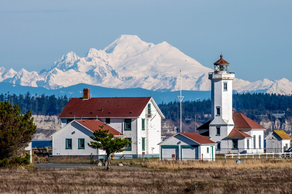
Point Wilson
Point Wilson, situated at the terminus of the Quimper Peninsula, a northeast extension of the Olympic Peninsula, stands as the northeasternmost point in Jefferson County, Washington, United States. Located approximately two miles north of the Port Townsend business district, Point Wilson is a notable geographical landmark offering stunning views and serving as a distinctive feature in the region’s coastal landscape.
Port Townsend Bay
Port Townsend Bay, alternatively known as Port Townsend or Port Townsend Harbor, is a marine inlet situated off Admiralty Inlet at the northeastern extremity of the Olympic Peninsula in the U.S. state of Washington. Named by George Vancouver in 1792, the bay boasts a rich maritime history and picturesque coastal surroundings.
The term “Port Townsend Bay” is occasionally employed to differentiate the bay from the city of Port Townsend, located on its northwestern shore.
This inlet serves as a vital and historically significant feature in the region, contributing to the charm and character of the local landscape.

Puget Sound
Puget Sound, a prominent feature of the Pacific Northwest, stands as an inlet of the Pacific Ocean and a vital component of the Salish Sea. Nestled along the northwestern coast of Washington state, Puget Sound is characterized by its scenic beauty and ecological richness.
Serving as a significant waterway, Puget Sound plays a crucial role in the region’s geography, supporting diverse marine life and offering stunning landscapes along its shores.
The sound is an integral part of the natural and cultural tapestry of Washington, contributing to the unique identity of the Pacific Northwest.

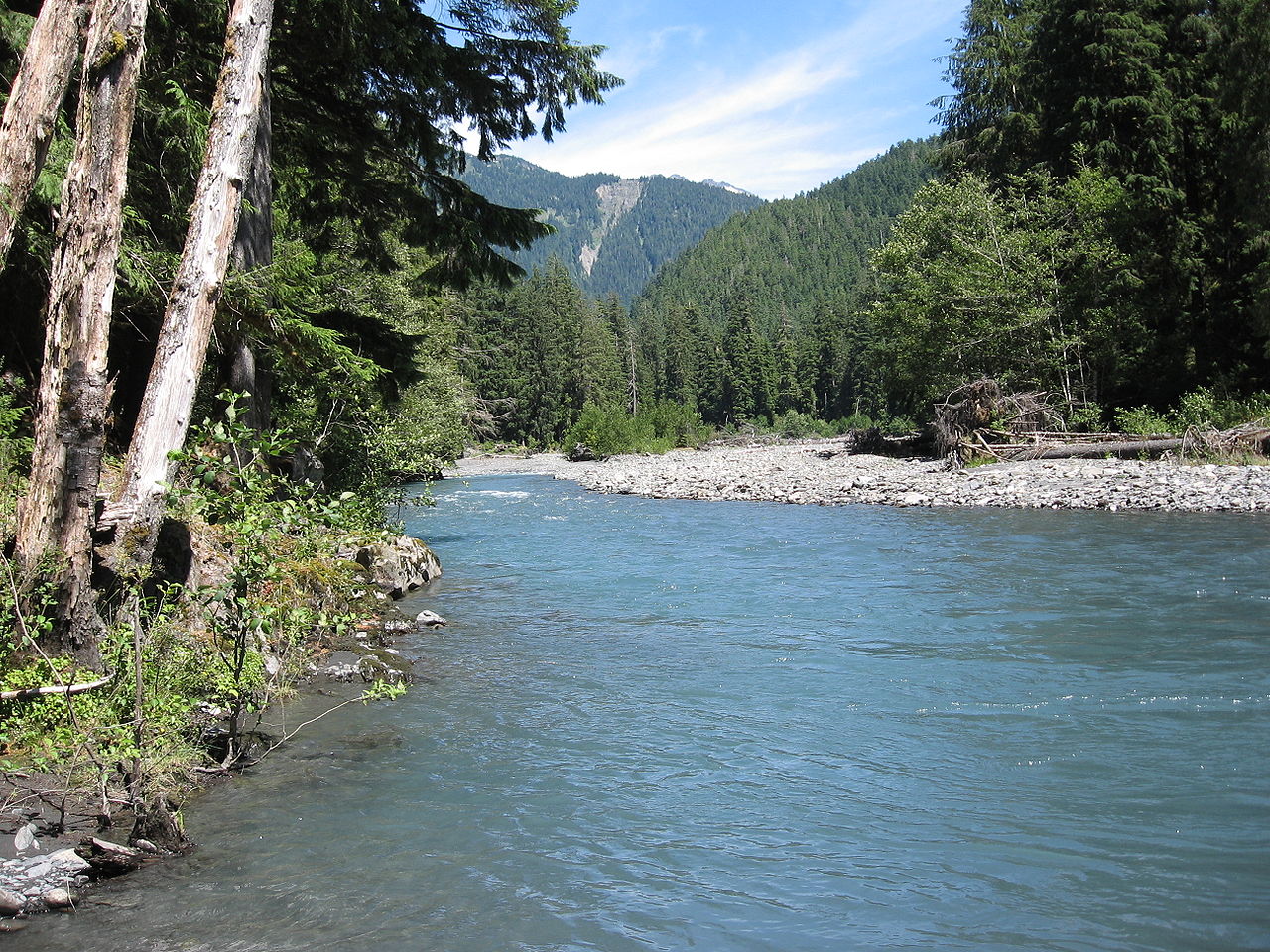
Queets River
The Queets River, located on the Olympic Peninsula in the U.S. state of Washington, is a notable river primarily situated within the boundaries of Olympic National Park. Flowing through pristine wilderness, the Queets River eventually empties into the Pacific Ocean.
This river holds significance for its natural beauty and ecological importance, contributing to the diverse landscapes and ecosystems of the Olympic Peninsula region.
Strait of Juan de Fuca
The Strait of Juan de Fuca, officially designated Juan de Fuca Strait in Canada, is a significant waterway stretching approximately 96 miles (83 nautical miles or 154 km). As the primary outlet of the Salish Sea to the Pacific Ocean, this strait holds a central role in connecting these two distinct bodies of water.
The strait’s strategic location and length of about 96 miles make it a crucial geographical feature, facilitating the exchange of marine waters between the Salish Sea and the vast expanse of the Pacific Ocean.

Olympic National Forest
Olympic National Forest, a U.S. National Forest situated in Washington, USA, covers an extensive area of 628,115 acres (2,541.89 km2). Encompassing nearly the entirety of Olympic National Park and the Olympic Mountain range, this diverse forest presents a varied landscape, ranging from the temperate Olympic rainforest to the saltwater fjord of Hood Canal and the towering peaks of Mt. Washington.
Renowned for its rich biodiversity and scenic beauty, Olympic National Forest stands as a vital component of the Pacific Northwest’s natural heritage, offering visitors an array of ecosystems and outdoor recreational opportunities.

Olympic National Park
Olympic National Park, located on the Olympic Peninsula in the State of Washington, is a diverse and expansive national park featuring four distinct regions: the Pacific coastline, alpine areas, the west-side temperate rainforest, and the forests of the drier east side. The park showcases three distinct ecosystems, including subalpine forest and wildflower meadows, temperate forest, and the rugged Pacific coast.
A network of hiking trails provides opportunities to explore the park, though its size and remoteness often require more than a weekend to reach the high country in the interior. Visitors can marvel at the sights of the lush rainforest, adorned with a riot of plant life in myriad hues of green. Backpacking along the beach is a unique feature of the park, offering the chance for multi-day trips with the entire day spent walking along the coastline.
Winter activities are abundant at the Hurricane Ridge viewpoint, which serves as a hub for winter sports enthusiasts. The Hurricane Ridge Winter Sports Club operates the Hurricane Ridge Ski and Snowboard Area, providing alpine skiing, snowboarding, lessons, rentals, and affordable lift tickets. The winter months also offer access to a significant amount of backcountry terrain for skiers, snowboarders, and other backcountry travelers, weather permitting.
Rafting is available on the Elwha and Hoh Rivers, while boating is common on Ozette Lake, Lake Crescent, and Lake Quinault. Fishing is permitted in various rivers within the park, with exceptions for certain trout species. The Hurricane Ridge viewpoint offers stunning views of the park, and the road leading west from the Hurricane Ridge visitor center features picnic areas and trailheads, including the paved Hurricane Hill trail. The park’s diverse landscapes, recreational opportunities, and seasonal activities make Olympic National Park a captivating destination for nature enthusiasts.


Pacific Northwest Trail
The Pacific Northwest Trail (PNT) is a challenging 1,200-mile (1,900 km) hiking trail that extends from the Continental Divide in Montana to the Pacific Ocean on the Olympic Coast of Washington. As it winds its way through diverse landscapes, the PNT traverses three national parks, seven national forests, and intersects with two other national scenic trails.
Offering a unique against-the-grain experience, the trail leads hikers through several mountain ranges, including the Continental Divide, Whitefish Divide, Purcells, Selkirks, Kettles, Cascades, and Olympics.
The Pacific Northwest Trail is a captivating journey for outdoor enthusiasts, providing a chance to explore a variety of ecosystems and terrains across the Pacific Northwest.